Read the map as an argument
Ask who made it, when, for whom, and what the map leaves out. Scale and point of view shape what becomes visible.
A field guide to reading the places around you
Learn to follow maps, buildings, photographs, directories, and memory back through time. Start with a question. Let the evidence lead.
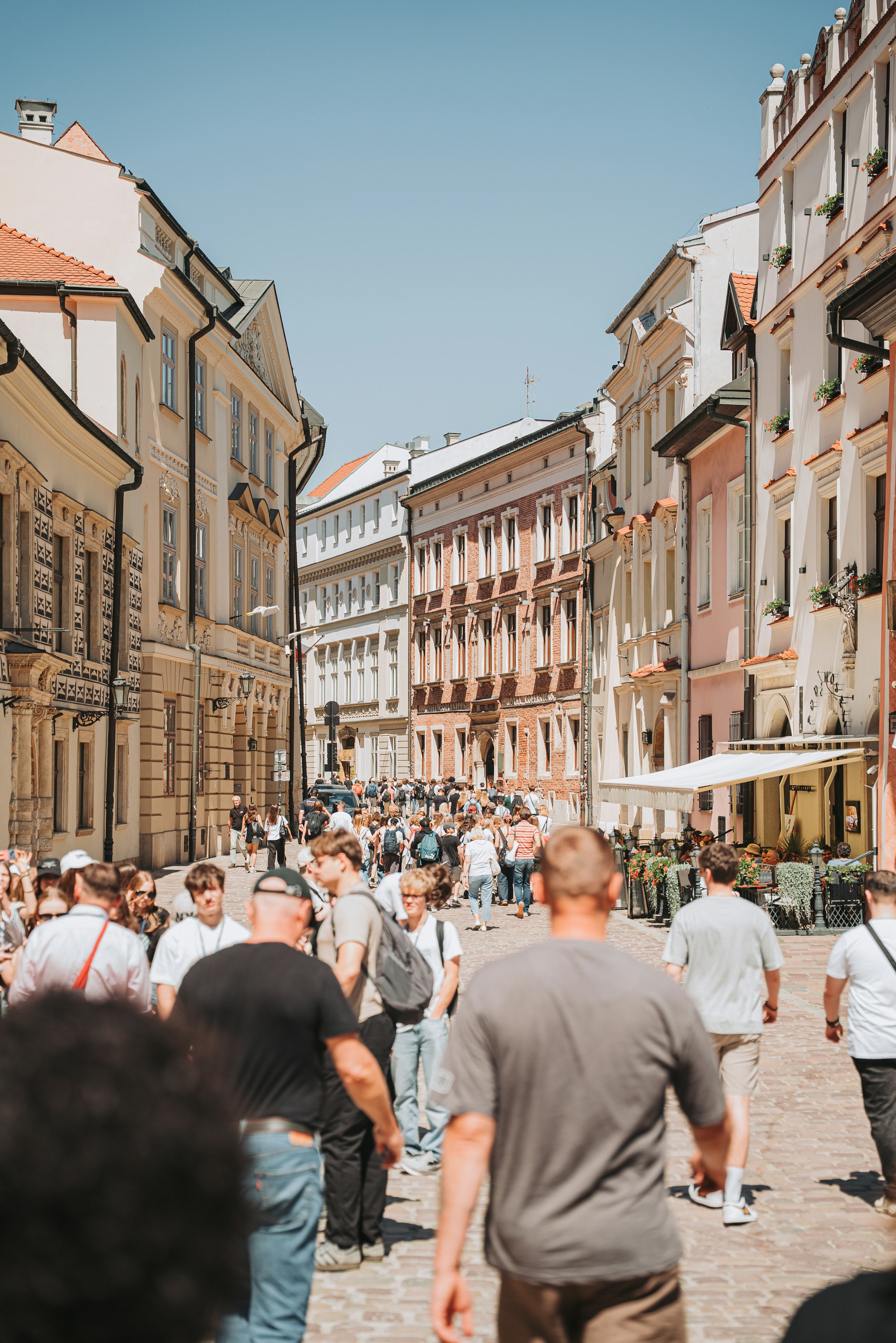
What stood here before?
A street name, a map edge, a shop sign, a memory: each is a clue. Treat it as a starting point, then look for records that can test it.
Open the field guideAsk who made it, when, for whom, and what the map leaves out. Scale and point of view shape what becomes visible.
Compare directories, permits, newspapers, photographs, and maps. A change in one source can suggest where to look next.
Separate dated evidence from later interpretation and remembered experience. Preserve disagreements where records differ.